")
Introduction to Geospatial
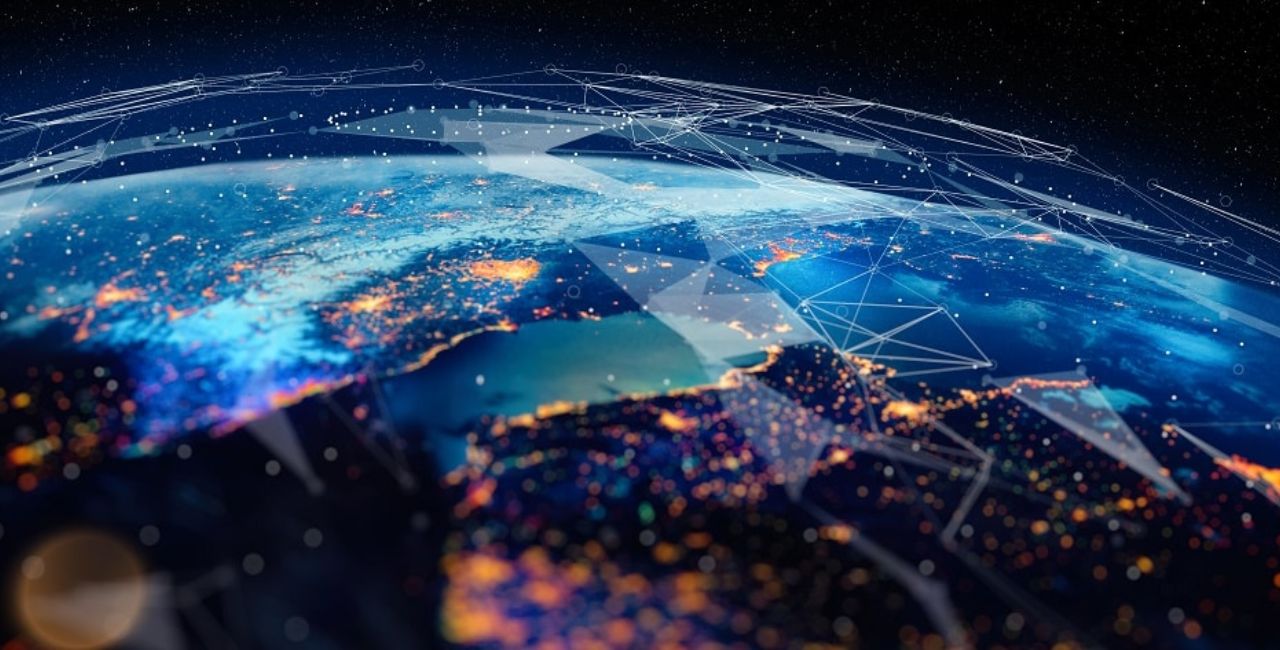
Geospatial refers to information tied to places on Earth. It helps people see where things happen. Think of it as data with a map attached. This guide explains geospatial in simple terms. You will learn its meaning, history, types, and uses. We draw from trusted sources to keep facts true. By the end, you will know how geospatial shapes our world.
People use geospatial data every day without knowing it. Your phone’s map app relies on it to find routes. Farmers check soil health with it. Governments plan cities around it. Geospatial combines location, time, and details to reveal patterns. It turns raw facts into clear pictures, like maps or charts.
This article covers key areas. We start with basics and move to advanced topics. You will find examples, stats, and tips. Our goal is to make geospatial easy for anyone to grasp.
The Definition of Geospatial
Experts define geospatial as data linked to specific spots on the planet. It includes coordinates, like latitude and longitude, plus other info. For instance, a tree’s location might note its height and age too.
Dictionaries describe it clearly. Geospatial means “consisting of, derived from, or relating to data that is directly linked to specific geographical locations.” This comes from reliable sources like Merriam-Webster. They give examples, such as using geospatial analysis to study neighborhoods after storms.
Why does this matter? Geospatial data helps solve problems. It shows where floods might hit or where stores should open. Without it, decisions rely on guesses. With it, you get precise insights.
Here are key parts of geospatial data:
- Location: Where something is, using points or areas.
- Attributes: Extra details, like temperature or population.
- Time: When events occur, tracking changes over days or years.
This setup lets users layer info. Imagine overlaying rain data on a city map to spot flood risks.
History of Geospatial Technology
Geospatial tools have deep roots. Early humans drew maps on cave walls to show hunting spots. Ancient Egyptians mapped the Nile River for farming. By the 1800s, maps helped explorers like Lewis and Clark.
The big shift came in the 20th century. Computers changed everything. In the 1960s, Canada built the first GIS system to manage land. GIS stands for Geographic Information System. It stores and analyzes geospatial data.
Satellites boosted progress. The U.S. launched Landsat in 1972. It sent Earth images from space. This led to remote sensing, where tools capture data without touching the ground.
By the 1990s, GPS became public. GPS, or Global Positioning System, uses satellites for exact locations. Phones and cars adopted it fast.
Today, geospatial tech grows with AI and drones. The market hit $63 billion in 2020 and could reach $147 billion by 2028, per Grand View Research. This growth shows its value in many fields.
Key milestones:
- Pre-1900s: Hand-drawn maps for navigation.
- 1960s: First GIS for resource management.
- 1970s: Satellite imagery starts.
- 1990s: GPS opens to civilians.
- 2000s+: Internet maps like Google Earth make it accessible.
This history reassures us: Geospatial evolves to meet needs. It started simple but now handles complex tasks.
Types of Geospatial Data
Geospatial data comes in main forms. Each suits different needs. Understanding them helps you choose the right one.
First, vector data. It uses points, lines, and polygons. Points mark spots like stores. Lines show roads or rivers. Polygons cover areas like parks.
Vector pros:
- Precise for shapes.
- Easy to scale without losing quality.
- Good for attributes, like adding speed limits to roads.
Next, raster data. It looks like a grid of pixels, similar to photos. Satellites often produce it. Each pixel holds a value, like color or height.
Raster examples:
- Satellite images for weather.
- Elevation maps for hiking.
- Land cover showing forests or cities.
Point clouds are another type. They create 3D models from laser scans. Drones use them for building surveys.
Finally, attribute data adds details. It’s not visual but links to locations. Think census info on population by zip code.
Mixing types gives power. For example, overlay vector roads on raster images to plan evacuations.
Stats show raster data dominates remote sensing, with over 80% of Earth observation data in this form, according to NASA.
Choose based on your goal. Vectors for accuracy, rasters for visuals.
Key Geospatial Technologies
Geospatial relies on tools that collect and process data. These make analysis fast and reliable.
GIS is central. It layers data on maps. Software like ArcGIS lets users query info. Ask “Where are high-crime areas?” and get a visual answer.
GPS provides locations. It uses 24 satellites. Accuracy reaches centimeters with advanced versions.
Remote sensing captures from afar. Satellites or planes take images. Tools like Landsat provide free data.
Geofencing sets virtual boundaries. Apps alert when you enter areas, useful for marketing.
Internet mapping shares data online. Google Maps uses geospatial tech for directions.
Newer tools include AI. Geospatial AI spots patterns in big data. For example, it predicts crop yields.
Python helps too. Libraries like GeoPandas handle vectors. They make coding geospatial tasks simple.
Challenges exist, like data size. Weather data can hit 100 TB daily. Cloud storage solves this.
These technologies reassure users: They handle tough jobs with ease.
Applications of Geospatial in Business
Businesses thrive with geospatial data. It guides decisions and saves money.
Retail uses it for site selection. Analyze foot traffic to pick store spots. Walmart does this to boost sales.
Logistics optimizes routes. UPS saves millions in fuel by mapping efficient paths.
Insurance assesses risks. Geospatial maps show flood zones, setting fair premiums.
Marketing targets customers. Geofencing sends ads to phones in stores.
Stats: The geospatial market in business grows at 13% yearly, per MarketsandMarkets.
Tips for use:
- Start with free tools like Google Earth.
- Integrate with business software.
- Train teams on basics.
These apps show geospatial as a smart investment.
Geospatial in Environmental Science
Environment benefits hugely from geospatial. It tracks changes and protects nature.
Climate scientists map warming. Satellite data shows ice melt in Antarctica.
Wildlife experts monitor habitats. GIS tracks animal migrations to avoid threats.
Forestry uses remote sensing for deforestation. Brazil’s system alerts on illegal logging.
Water management maps resources. It spots leaks in pipes or drought areas.
A study by the UN says geospatial helps achieve 11 of 17 Sustainable Development Goals.
Examples:
- Tornado tracking with weather overlays.
- Wildfire prediction using wind and vegetation data.
This reassures: Geospatial aids in saving the planet.
Geospatial in Healthcare
Healthcare uses geospatial to fight diseases and plan services.
Epidemiologists map outbreaks. During COVID-19, maps showed hot spots for quick response.
Hospitals locate facilities. Analyze population to place clinics where needed.
Ambulances find fastest routes with GPS.
Mental health studies link environment to well-being. Green spaces reduce stress, per geospatial analysis.
Stats: Geospatial in health could save $300 billion yearly in the U.S., says McKinsey.
Simple steps:
- Collect patient location data safely.
- Use GIS for pattern spotting.
- Share maps with teams.
It’s a tool that saves lives.
Geospatial in Government and Urban Planning
Governments rely on geospatial for public services.
Urban planners design cities. Maps show where to build parks or roads.
Disaster response uses it. FEMA maps flood risks to evacuate people.
Census data is geospatial. It helps allocate funds fairly.
Voting districts get drawn with it, ensuring balance.
Global example: Singapore’s smart city uses geospatial for traffic and energy.
Growth: Governments spend $10 billion yearly on geospatial tech, per GeoBuiz.
It builds better communities.
Geospatial in Agriculture
Farmers use geospatial for better yields.
Precision farming maps soil types. Drones scan fields for nutrient needs.
Crop monitoring spots pests early. Satellite images show stressed plants.
Irrigation plans save water. Geospatial shows dry spots.
Credit risks get assessed. Banks use farm data for loans.
Stats: Geospatial boosts yields by 10-20%, per USDA.
Tips:
- Use free satellite data.
- Combine with weather apps.
- Train on drone use.
It feeds the world smarter.
Geospatial in Human Rights and Social Issues
Geospatial supports human rights. It documents abuses and aids relief. AAAS’s overview explains how.
Satellite imagery spots refugee camps. It monitors war zones for violations.
GIS analyzes inequality. Maps show access to water or schools.
NGOs use it for advocacy. Evidence from geospatial data strengthens cases.
Example: Post-Hurricane Katrina, geospatial checked neighborhood recovery.
This application reassures: Tech fights injustice.
Benefits of Using Geospatial Data
Geospatial offers clear advantages. It provides warnings, like spotting storm paths early.
It deepens understanding. See why sales drop in areas via maps.
Efficiency rises. Utilities fix issues before they worsen.
Cost savings: Businesses cut waste with optimized plans.
Collaboration improves. Teams share visual data easily.
Overall, it turns data into action.
Challenges in Geospatial Work
Despite benefits, hurdles exist.
Data volume overwhelms. Solutions: Use cloud tools.
Formats vary. Standardize with software.
Skills gap: Train users on basics.
Privacy concerns: Anonymize location data.
Cost: Start with free options like QGIS.
Overcoming these makes geospatial accessible.
Future Trends in Geospatial
Geospatial evolves fast. AI integrates for smarter predictions.
Drones provide real-time data. Autonomous cars use it for navigation.
5G speeds up sharing. Mapping as a service grows.
Market projection: $96 billion by 2025, per IBM insights.
Quantum computing could handle bigger datasets.
Trends reassure: Geospatial stays relevant.
Case Studies: Real-World Geospatial Success
Look at examples.
Tornado tracking: Oklahoma uses geospatial to save lives.
Vegetation management: Utilities prevent outages with maps.
Humanitarian aid: Red Cross maps disaster needs.
These show practical wins.
How to Get Started with Geospatial
Ready to try? Follow these steps:
- Learn basics: Read free guides.
- Pick tools: Start with Google Earth.
- Gather data: Use public sources.
- Analyze: Layer info in GIS.
- Visualize: Create maps. For custom styles, explore Fontlu for map fonts.
Build skills gradually.
FAQs About Geospatial
What is geospatial data? It’s info linked to Earth locations, like maps with details.
How does geospatial differ from spatial? Geospatial ties to geography; spatial is general space.
What careers use geospatial? Analysts, planners, scientists.
Is geospatial free to use? Many tools are, like OpenStreetMap.
How accurate is geospatial data? GPS hits meters; advanced versions centimeters.
Conclusion
Geospatial transforms how we understand the world. From definitions to applications in business, environment, health, and more, it provides tools for better decisions. We covered history, types, technologies, benefits, challenges, and future trends. This data drives efficiency and innovation across fields.
In summary, geospatial links location to insights, making complex issues simple. It reassures us with facts and visuals.